

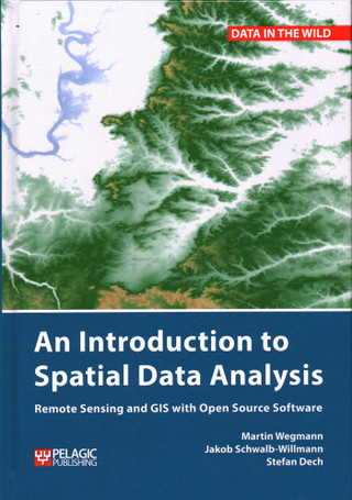
Introduction to Spatial Data Analysis
by Martin Wegmann, Jakob Schwalb-Willmann and Stefan Dech
$42.23 / copy at 25+ copies As low as $41.27 at 100+Your best volume price
Format
The more copies, the less each one costs
Applied automatically in your cart. No code needed.
Built for school and campus orders
PDF quotes, purchase orders, tax exemption and multi-site delivery, handled by one account manager.
Introduction to Spatial Data Analysis
An Introduction to Spatial Data Analysis introduces spatial data handling using the open source software Quantum GIS (QGIS). In addition, readers will be guided through their first steps in the R programming language. The authors explain the fundamentals of spatial data handling and analysis, empowering the reader to turn data acquired in the field into actual spatial data. Readers will learn to process and analyse spatial data of different types and interpret the data and results. After finishing this book, readers will be able to address questions such as “What is the distance to the border of the protected area?”, “Which points are located close to a road?”, “Which fraction of land cover types exist in my study area?” using different software and techniques.
This book is for novice spatial data users and does not assume any prior knowledge of spatial data itself or practical experience working with such data sets. Readers will likely include student and professional ecologists, geographers and any environmental scientists or practitioners who need to collect, visualize and analyse spatial data.
The software used will be the widely applied open source scientific programs QGIS and R. All scripts and data sets used in the book will be provided online at book.ecosens.org.
This book covers specific methods including:
• what to consider before collecting in situ data
• how to work with spatial data collected in situ
• the difference between raster and vector data
• how to acquire further vector and raster data
• how to create relevant environmental information
• how to combine and analyse in situ and remote sensing data
• how to create useful maps for field work and presentations
• how to use QGIS and R for spatial analysis
• how to develop analysis scripts
The book, Introduction to Spatial Data Analysis [Bulk, Wholesale, Quantity] ISBN#9781784272135 in Paperback by Martin Wegmann, Jakob Schwalb-Willmann, Stefan Dech may be ordered in bulk quantities. Minimum starts at 25 copies. Availability based on publisher status and quantity being ordered.
Details
- Publisher
- Pelagic
- Authors
- Martin Wegmann, Jakob Schwalb-Willmann, Stefan Dech
- Format
- Paperback
- Published
- Nov 7, 2020
- ISBN-13
- 9781784272135
- ISBN-10
- 1784272132
- Pages
- 300
- Carton quantity
- 16 copies
Introduction to Spatial Data Analysis in bulk: pricing
Volume pricing applies automatically in your cart. No codes, no account needed.
| Copies | Price per copy | You save |
|---|---|---|
| 25 – 49 | $42.23 | 12% off list |
| 50 – 99 | $41.75 | 13% off list |
| 100+ | $41.27 | 14% off list |
Popular for
A copy for every student in the class or section.
Shared reading for professional development.
Common reads and first-year programs.
How fast can I get copies of Introduction to Spatial Data Analysis?
Need them by a specific date? Request a quote and we'll confirm timing before you pay.
Can you ship to several locations or people's homes?
Yes. We ship in bulk to one address, to multiple sites, or to individual recipients, in the US and internationally. See fulfillment options.
Can I get a formal quote for approval before ordering?
Yes. Request a quote and we'll send a PDF you can forward for approval.
Do you accept purchase orders and tax-exempt orders?
Yes. We accept purchase orders upon approval, as well as cards, PayPal, ACH, wire transfers and checks. BookPal is a tax-exempt supplier in all 50 states. See purchase orders and sales tax exemption.
What if I find a lower price?
Send us the link. We match prices from other bulk booksellers and distributors on a new copy in the same edition, available to ship in the quantity you need. Clearance sales and pricing errors are the exception, and we'll tell you quickly if that's the case. Start a price match.
Write a Review
Introduction to Spatial Data Analysis
Groups also order



A colleague asked you to approve this order
Your quote list
Add books as you browse, then request one quote for all of them.